Mt Rainier National Park Hiking Trip Planner In 10 Easy Steps:
Planning a hiking trip is one of the most challenging parts of the trip for me. But follow our Mt Rainier National Park Hiking Trip Planner, and you will find yourself hiking along the Wonderland Trail in no time!
Disclosure: Some links on this page are affiliate links, and if you go through them to make a purchase or a booking, I may earn a commission. Using these links DO NOT affect the cost of the product/booking. The price remains the same affiliate link or not.
#1. Plan Your Hikes / Backpacking Itinerary:
Your first step in planning your Mt Rainier vacation is to figure out precisely what you want to do and see in the park. Whether it be day hiking or backpacking, you should decide what you want to see and how long you need to be there to get the most out of your trip. Be sure to always discuss backpacking itineraries or day hikes with a park ranger, to make sure conditions are safe for when you intend on visiting the park.
Determining what you want to do in the park should be your first step because it will affect all other aspects of planning your trip that we will discuss throughout this guide. Whether you opt for day hiking or backpacking, I highly recommend going through our “Mt Rainier National Park Guide“. It is a great resource to find insane day hikes and pre-made backpacking itineraries to help you plan your adventure.
If you are a looking to go on an extended backpacking trip and backpack the famous Wonderland Trail you should check out our “Wonderland Trail Backpacking Guide”
#2. Pick Your Dates
Now that you know what you want to do in the park and how long you expect to stay, the next step is deciding which dates you want to go. For hiking and camping, summertime is your best bet. Anywhere from early July to mid September would work. Keep in mind these dates may require some flexibility depending on the campsite and permit availability.
#3. Book Your Campsite, Permits Or Hotel Stay
Now that you have your dates, you need to work on getting campsite, backcountry permit, or hotel reservations.
Campsite & Backcountry Permit Reservations:
When planning your stays at front-country campsites in Mt Rainier National Park you may make reservations at Cougar Rock Campground and Ohanapecosh Campground. Fortunately for you last minute planners like myself there are also two campgrounds that are first-come-first-serve only, these are White River and Mowich Lake campground.
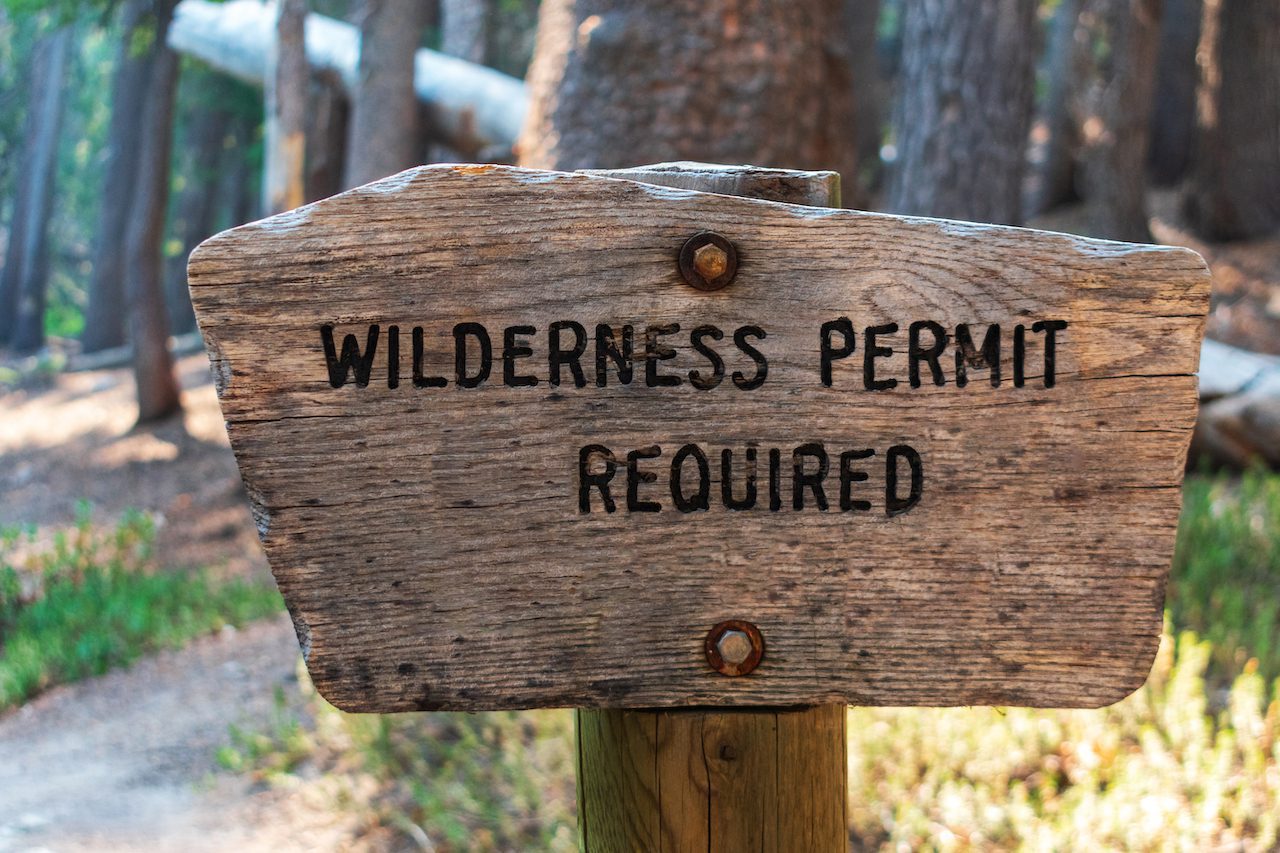
If you plan backpacking you will need permits to camp in the backcountry. You can reserve these permits through recreation.gov. Backcountry permits during the busy season can be difficult to obtain last minute, so I recommend applying for them way in advance.
Hotel Stays Near Mt Rainier National Park
Now, if camping isn’t your style and you need a little more comfort, there are several hotel options most of them located south of the park in Ashburn and Packwood Washington. Use the below links to find some cool stays near Mt Rainier National Park.
#4. Decide Which Airport You Are Flying Into
Mt Rainier National Park is pretty large. Because of this, there are a couple of different airport options available. There are two different ways you can go with picking an airport. Either go with the closest to where you plan on lodging or with whichever one has the most convenient flights for you, and if you can get both, great! Refer to our post “Closest Airports To Mt Rainier national Park” to see which airport would work best for you!
#5. Check Flights And Book Your Tickets
Now that we picked our dates and what airport we want to fly into, it is time to check flights! I always like using Kayak to help find the cheapest flights. Use the link below to do some flight research.
#6. Book A Rental Car For Your Mt Rainier National Park Vacation
The next step needed is to book your rental car. Mt Rainier National Park is a fantastic park to drive through with many scenic roads. Unfortunately, public transport is virtually nonexistent here so having a car is a must. I usually use one of the below services to research and book my rental cars.
#7. Consider Travel Insurance Especially If Backpacking
You never know what is going to happen when hiking in the wilderness. While travel insurance may be overkill if you only plan on doing day hikes, it is worth considering if you are backpacking. The reason being is injuries on the trail are always unexpected. If you were to get one bad enough that it requires you to be airlifted out of the park, that is a bill you DO NOT want.
Click the link below to check out different plans with Travelex. After you put in your information and get quotes, click “show more features” to view travel coverage benefits for emergency medical expenses and emergency medical evacuation.
#8. Look Into Excursions In Mt Rainier National Park
Suppose you have an extra day and want to do other activities outside of hiking. I highly recommend looking through some of the excursions available through TripAdvisor. Click the link below and search “Mt Rainier National Park” then click “things to do” to look through some of the excursions available through TripAdvisor.
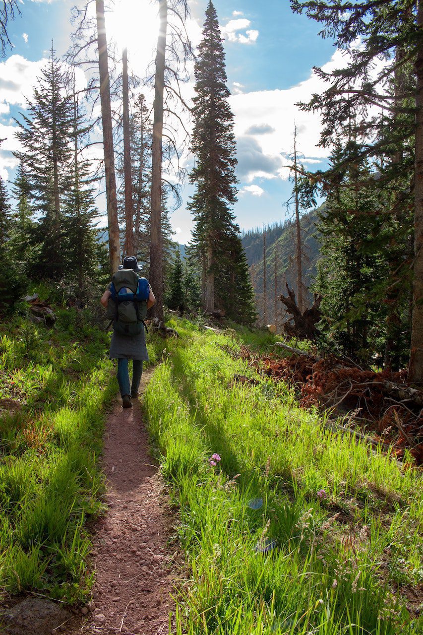
#9. Brush Up On Your Hiking/Backpacking Basics
If you are new to hiking or backpacking but want to visit Mt Rainier National Park, that is awesome! You do not need to be a seasoned veteran outdoorsman to enjoy a park. If you are a beginner, I recommend going on some day hikes before your trip to prepare you for your hiking vacation! If you want to learn about hiking and backpacking, check out our “Hiking / Backpacking Tips Page.”
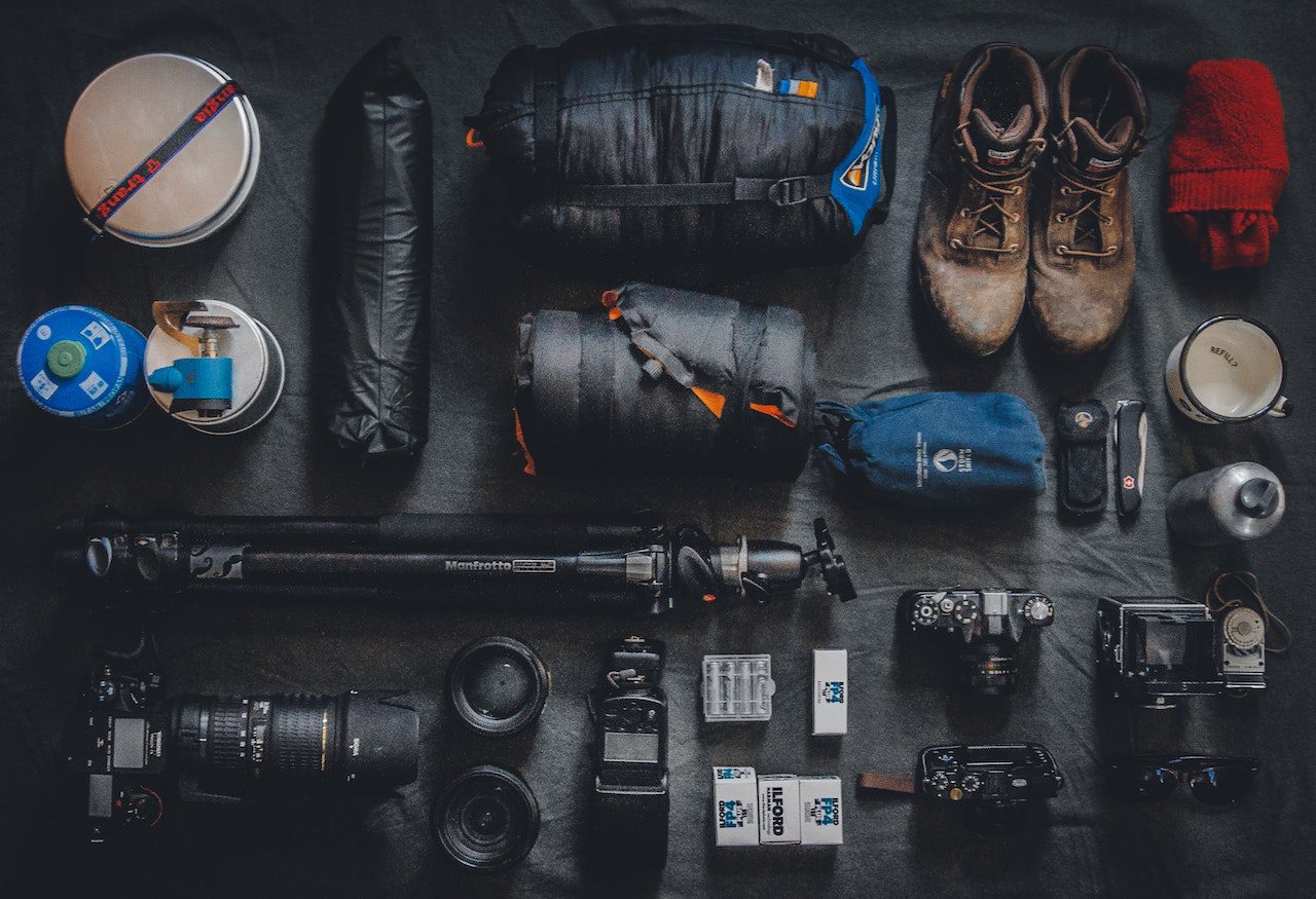
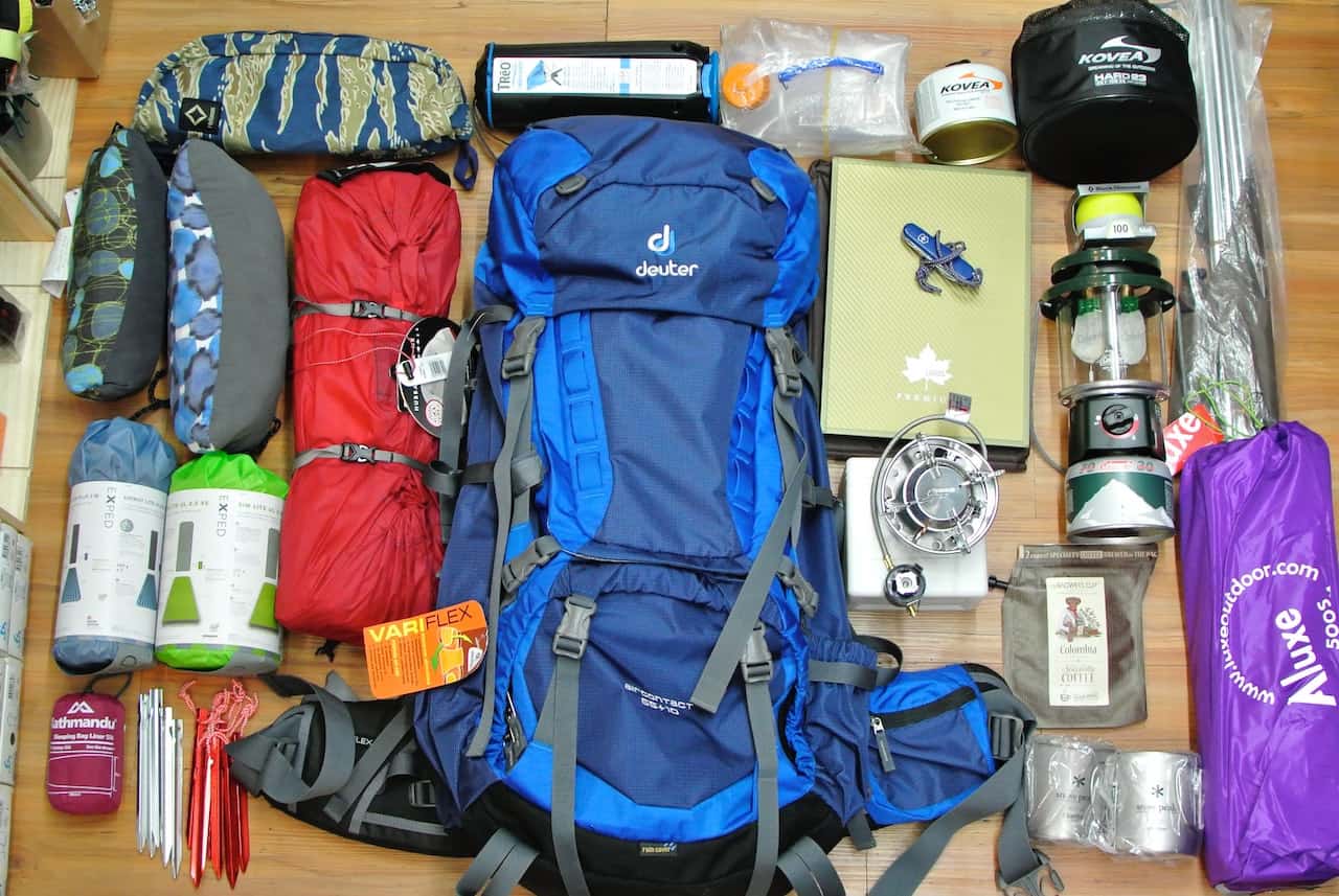
#10. Make Sure You Have All Of The Necessary Gear
Whenever going into the wilderness, having the right gear is absolutely essential. Fortunately, whether you are backpacking or just doing day hikes, you can use our gear guides to ensure you have everything you need.
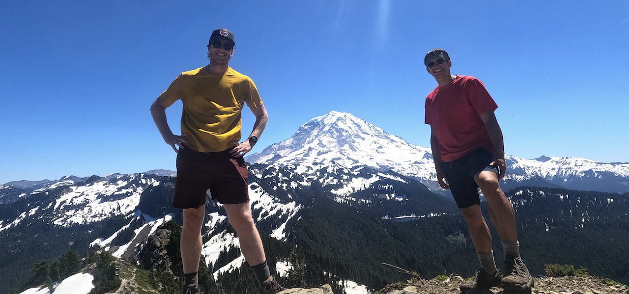
If you are visiting Mt Rainier National Park for the first time and want to get the most out of your visit, here are some great day hikes that should be on any first-time visitors list! These hikes are in no particular order, but they all have amazing views.
The Skyline Trail
Tolmie Peak
Kautz Creek Trail
Glacier Basin Trail
Hike to Summerland
The Skyline Trail
Distance: ~6.2 miles
Total Elevation Gain: ~1,788ft
Type Of Hike: Loop Trail
Starting Location: Paradise
The Trail: Starting from the Paradise area, this amazing loop trail will get you up close in personal to the magnificent Nisqually and Paradise glaciers. When you reach Panorama Point, you will see why this trail is so aptly named!
Tolmie Peak
Distance: ~5.6 miles
Total Elevation Gain: 1,541ft
Type Of Hike: There and Back
The Trail: Starting at Mowich Lake this hike offers one of the most breathtaking views in the entire park. When you reach Tolmies Peak will get not only incredible views of Mt. Rainier but also Mt St Helens and Eunice Lake. If you want enjoy this view during a backpacking trip you can check out our Tolmie Peak Backpacking Itinerary.
Kautz Creek Trail
Distance: ~11.2 miles
Total Elevation Gain: 3,969ft
Type Of Trail: There and back
The Hike: This trailhead starts off of Nisqually Road Southwest of Longmire Visitor Center. Although this hike is strenous to start, after the difficult climb you will be rewarded with incredible views of the Mirrior Lakes and South Tahoma Glacier of Mt. Rainier.
Mount Freemont Lookout Trail
Distance: ~6.0 miles
Elevation Gain: 1,118ft
Type Of Trail: Out and Back
The Trail: Starting out in the Sunrise area this hike begins on the Sourdough Ridge Trail before you hit frozen lake where you will go north on the Mount Fremont Lookout Trail
Hike To Summerland from Fryingpan Creek
Distance: ~10.1 miles
Elevation Gain: 2,595
Type Of Trail: Out and back
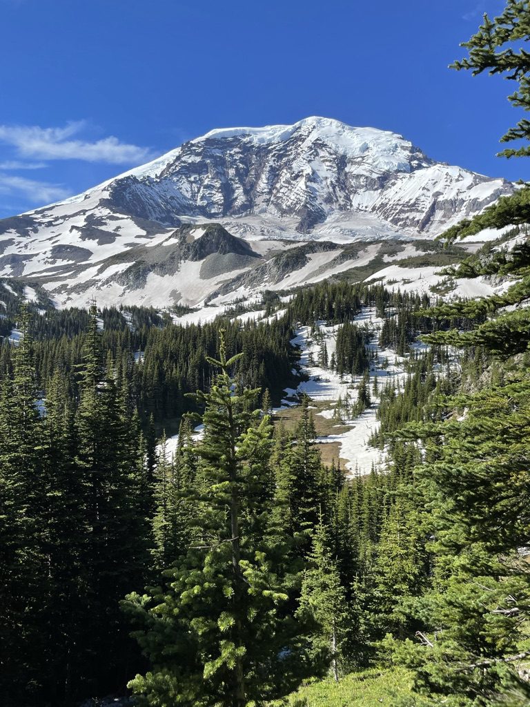
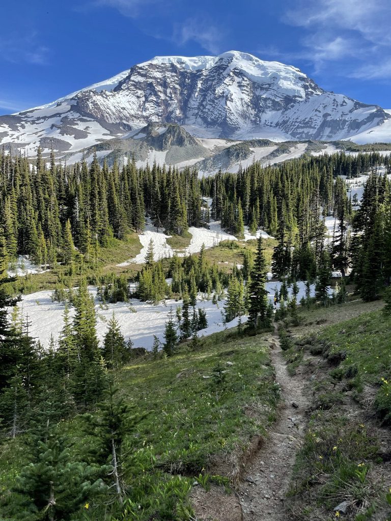
The Trail: Starting at Fryingpan Creek, this nice day hike will get you incredible views of both Emmons and Fryingpan Glacier. If you hike a view miles farther, you will come across Panhandle Gap, the highest point on the Wonderland Trail!
This 3-day 2-night Tolmie peak backpacking itinerary is great for a beginner with a log mileage and elevation gain. Designed as an in and out route you will need either two cars or plan for someone to give you a lift either to the start of the trailhead or when your finish. You will get amazing views of Mowich Lake, Ipsut Pass, Lake Eunice, and of course Tolmie Peak!
Overview:
Type Of Route: In and Out
Permits Required: Yes
Special Gear Considerations: May require ice-ax and crampons depending on trail conditions. Need bear hang equipment.
Mileage: ~19.7 miles
Total Elevation Gain: ~3,802ft
Day 1: Mowich Lake Entrance to Mowich Lake Campground
Via Paul Peak Trail
Mileage: ~6 miles
Elevation Gain: 2,247ft
Day 2: Mowich Lake Campground to Ipsut Creek Campground (with a climb of Tolmie peak in between)
Via Wonderland Trail clockwise>Tolmie Peak Trail>Wonderland Trail Clockwise>Carbon River Trail.
Mileage: ~8.85 miles
Elevation Gain: 1,549ft
Day 3: Ipsut Creek Campground to Carbon River Trailhead
Via Carbon River Trail
Mileage: ~4.90 miles
Elevation Gain: Minimal to no elevation gain
awesome views from the top of Tolmie Peak
Check Out More Mt Rainier Backpacking Itineraries!
This Northern Loop Backpacking Itinerary is a loop trail starting and ending at Carbon River Trailhead(you can park on the side of Fairfax Forest Reserve Road). You will travel along a northern detour of the Wonderland Trail, getting views from Windy Gap, Yellowstone Cliffs, and James Lake. You will then return to your starting point, taking the Wonderland Trail counterclockwise back to Carbon River, where you will get views of Mystic Lake, Winthrop, and Carbon Glacier
Overview:
Type Of Route: Loop
Permit Required: Yes
Special Gear Considerations: May require ice-ax and crampons depending on trail conditions. Need bear hang equipment.
Mileage: ~42 miles
Total Elevation Gain: 10,040ft
Day 1: (park car at Fairfax Forest Reserve Road) Carbon River Ranger Station to Yellowstone Cliffs
Via Carbon River Trail>Wonderland Trail>Northern Loop Trail
Mileage: ~10.2 miles
Elevation Gain: ~3,560ft
Day 2: Yellowstone Cliffs to Fire Creek Camp
Via the Northern Loop Trail
Mileage: ~6.75 miles
Elevation Gain: ~2,067ft
Day 3: Fire Creek Camp to Mystic Lake
Via Nothern Loop trail> Wonderland Trail Counterclockwise
Mileage: ~11.70 miles
Elevation Gain: ~3,947ft
Day 4: Mystic Lake To Ipsut Creek Campground
Via Wonderland Trail Counterclockwise>Carbon River Trail
Mileage: ~8.0 miles
Elevation Gain ~463ft
Day 5: Ipsut Creek Campground to Carbon River Ranger Station
Via Carbon River Trail
Mileage: ~5.2 miles
Elevation Gain: minimal to none
Mt Rainier From Mystic Lake
Check Out Some More Mt Rainier Backpacking Itineraries!
Spray Park is a popular detour off the Wonderland Trail loop, giving you up-close views of Russel and Carbon Glacier. It is commonly called the “Mothers Mountain” hike as it loops around Mothers Mountain while traveling on the wonderland and Spray Park Trail. This loop route starts and ends at Mowich lake, offering fantastic views of Mowich Lake, Carbon River, and Ipsut Pass.
Overview:
Type Of Route: Loop
Permits Required: Yes
Special Gear Considerations: May require ice-ax and crampons depending on trail conditions. Need bear hang equipment.
Mileage: ~17 miles
Total Elevation Gain: 4,720ft
Day 1: Park car at Mowich Lake Road. Mowich Lake to Cataract Valley
Via Wonderland Trail>Spray Park Trail
Distance: ~6.4 miles
Elevation: ~1,825ft
Day 2: Cataract Valley to Ipsut Creek
Via Spray Park Trail>Wonderland Trail
Distance: ~5.2 miles
Elevation Gain: ~131ft
Day 3: Ipsut Creek to Mowich Lake
Via Wonderland Trail
Distance ~5.2 miles
Elevation Gain: ~2,766ft
Check Out Some More Mt Rainier Backpacking Itineraries!
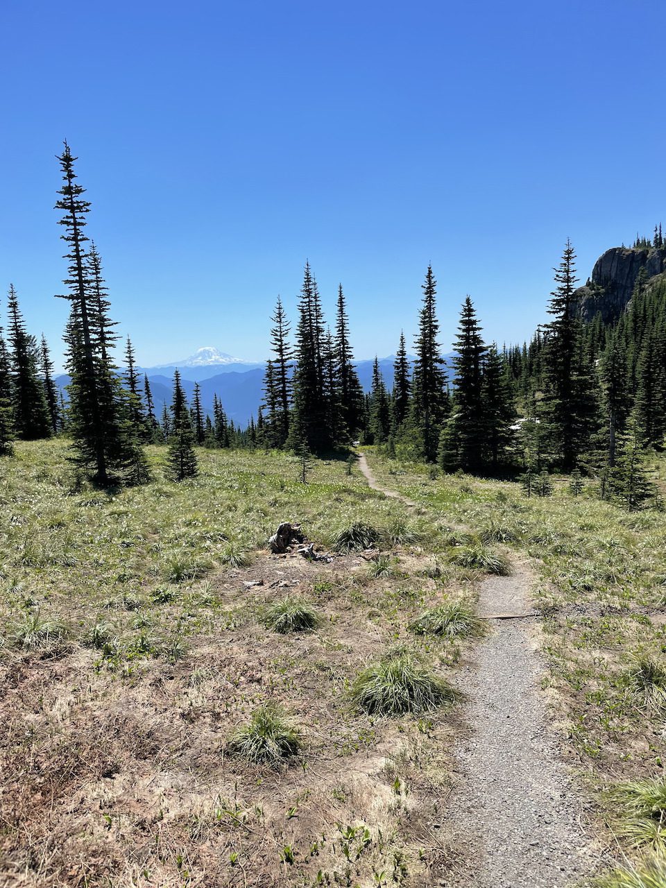
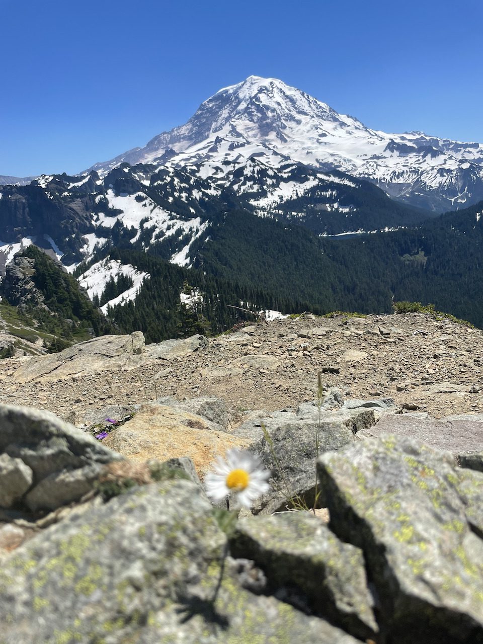
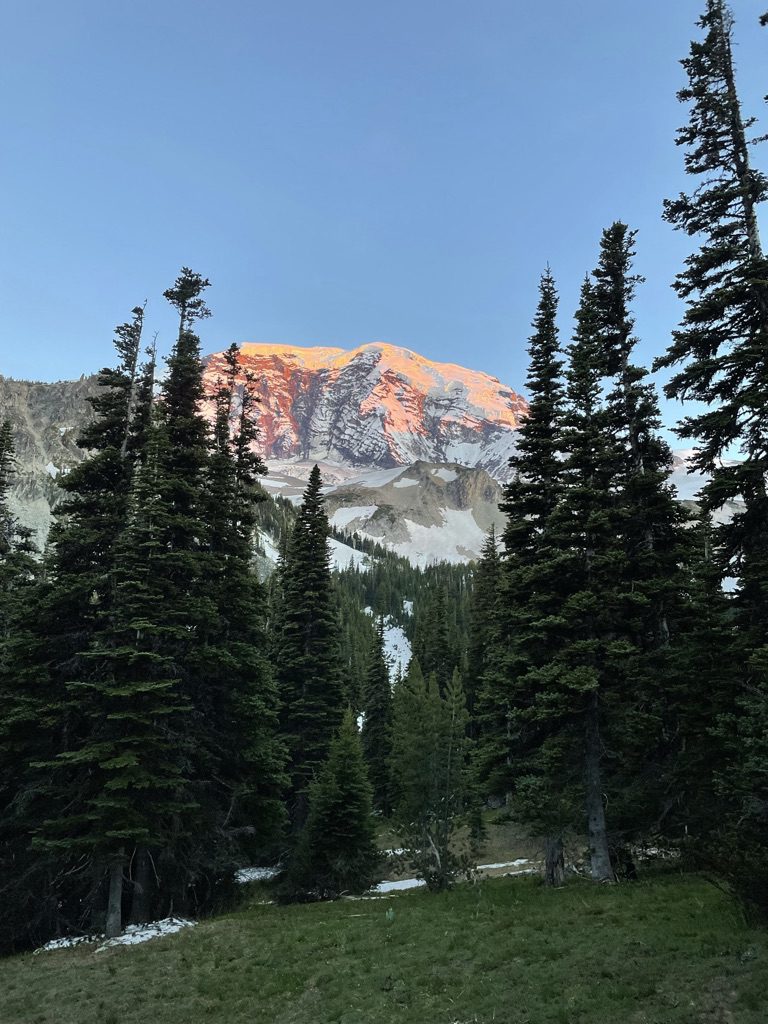
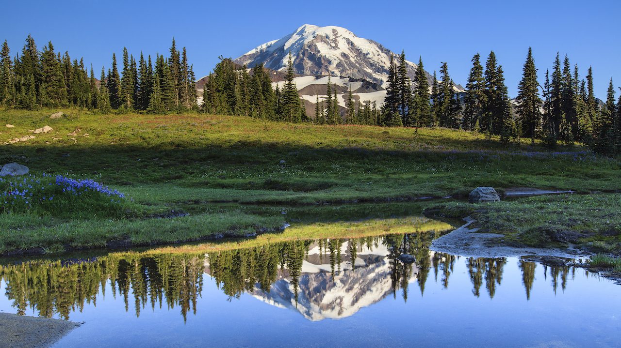
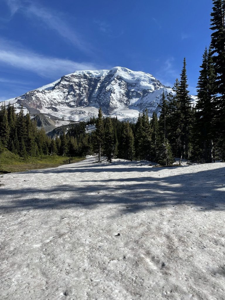
The Wonderland Trail is a popular backpacking trek in Mt Rainier National Park that encircles the park’s dormant volcano, Mt Rainier. On this hike, you will get not only beautiful views of Mt Rainier but will also get to hike through lovely meadows, pristine sub-alpine lakes, views of Mt Helens and so much more! The Wonderland Trail is a very strenuous hike with a lot of mileage and elevation gain/descent. We will go over everything you need to know about the Wonderland Trail so you can prepare for your own adventure, so without further adieu, let’s get started!
Overview Of The Wonderland Trail:
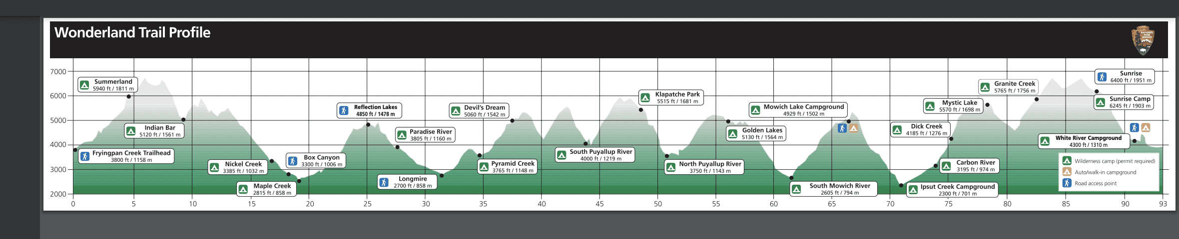
Mileage: 93 miles (150 kilometers)
Cumulative Elevation Gain & Loss: ~ 22,000ft
Type of Trail: Loop Trail
Estimated Number Of Days: About 6-8 Days
Permits Required: Yes
Wonderland Trail Elevation Profile Courtesy of the National Park Service
Who Should Hike The Wonderland Trail?
The Wonderland Trail is a strenuous hike and should only be attempted by individuals with backpacking experience and basic outdoor skills. The trek is lengthy at 93miles with 22,000ft of total elevation gain and descent, and this is not a hike you do coming right off the couch. If you want some tips on how to improve your hiking endurance, you can take a look at our post.
When Is The Best Time Of Year To Hike The Wonderland Trail?
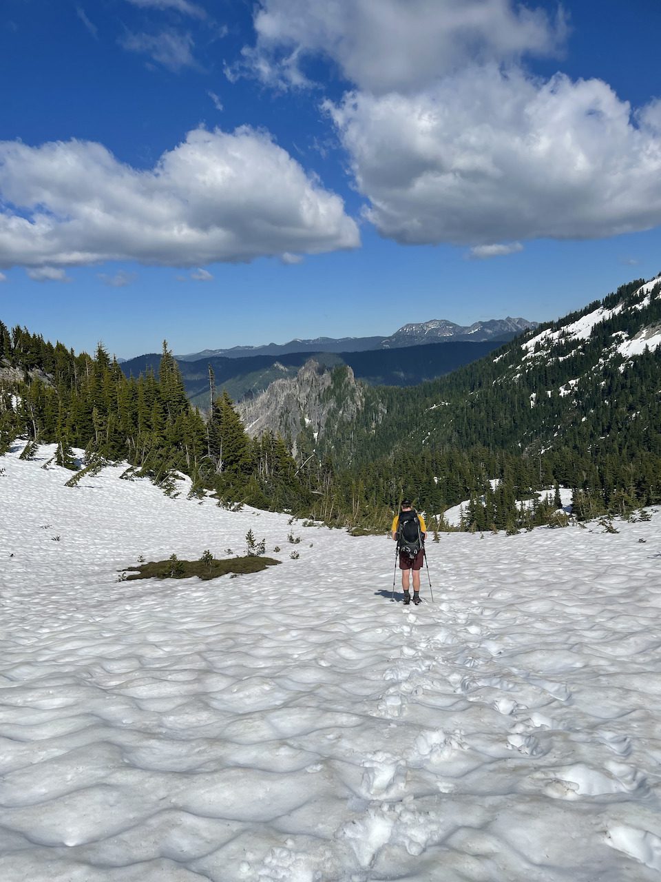
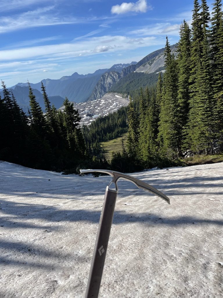
If you are shooting to hike in the best weather and avoid snow-covered trails, I recommend doing this trail from mid-July to early September. I made the error on my attempt to hike the trail in mid-June, where much of the park was still covered in snow, requiring us to hike with snow gear and deal with a whole lot of postholing!
How To Plan Your Own Wonderland Trail Backpacking Adventure:
Decide if you want to go clockwise or counterclockwise
Figure out how many days it would take for you to hike the trail confidently.
Pick a starting location.
Plug your information into Wonderland Guides. This is a very helpful website that takes the legwork out of planning a Wonderland Trail Itinerary.
Plan where you want to cache your food along the trail.
Make sure you can secure permits for your intended itinerary. This may require some flexibility on your end if you do not have available permits for your planned itinerary.
Hike The Wonderland Trail Clockwise Or Counterclockwise:
The classic direction for the Wonderland Trail is clockwise, typically starting and ending in Longmire Ranger Station. I do not believe it matters which direction you decide on hiking this trail. I would just try to find out whatever works best for the permit situation you find yourself in, then go with that.
Where To Start Hiking On The Wonderland Trail?
There are three major trailheads with available parking and camping nearby to start your wonderland trail trek. These are as follows:
Longmire
Mowich Lake
White River
How To Get Permits For The Wonderland Trail:
There are three ways to obtain backcountry permits for the wonderland trail.
Reservation: Mt Rainier National Park allocates two-thirds of their backcountry permits for reservations, during the summer season. Reservations can be made on recreation.gov starting on April 27th where you can make reservations from June 1st to September 30th. All reservations must be made 2 days prior to the start of your trip. Permits cost about $26.00 per a trip with a maximum of 13 days.
Walk-Up Permits: Mt Rainier National Park allocates the remaining one of third of their backcountry permits to walkups. Walk-up permits can be obtained no earlier than one day prior to the start of your trip, and can only be issued at one of the park’s wilderness information centers. There is a non-refundable $6.00 fee for walk-up backcountry permits.
Early-Access Lottery: Because the Wonderland Trail is such a popular attraction for the park permits are in extremely high demand which prompted the park to start a lottery This lottery is the BEST way to obtain permits for the Wonderland Trail because it allows you to make reservations before anyone else for the season. The lottery is typically open during the first couple of weeks in March, be sure to check the NPS website, for the latest lottery information.
***Keep in mind ALL permits must be activated at a ranger station to confirm your information, as well as go over safety, food storage and route information. Your Permit must be with you at all times when hiking, if you run into a ranger they will ask to see your permit information.
Can You Hike The Wonderland Trail Without A Permit?
Yes.
While only recommended for veteran ultralight backpackers as you have to hike the trail in three days. You would have to stay at three front-country campgrounds including Mowich Lake Campground, Cougar Rock Campground, and White River Campground. Mowich Lake is a free campground all you have to do is register in the parking lot, then for Cougar Rock and White River Campground each cost $20.00 to camp for the night. The nice thing about these campgrounds is that they are relatively spaced out from each other.
Cougar Rock Campground to Mowich Lake: ~36 miles
Mowich Lake to White River Campground: ~26 miles
White River Campground to Cougar Rock Campground: ~33 miles
Food Caches On The Wonderland Trail:
With over 93 miles of hiking fortunately the park has several locations where you can cache your food and fuel. You have the option of either mailing your cache to your desired destination or bringing it yourself to the ranger station. You want to use a sealable plastic container and properly label your cache with the name of the permit holder, where the cache will be picked up, when the cache will be picked up, and the permit number.
The areas where you can cache food are:
Longmire Wilderness Information Center (Fuel must be stored separately from cache)
White River Campground
Sunrise Old Gas Station
Carbon River Ranger Station
Preparing For Wonderland Trail Conditions:
Mountain weather conditions are always rapidly changing and Mount Rainier is certainly no exception. Be sure to properly research and study the trail conditions prior to setting out on your trip. A few ways you can do this is by reading through trip reports of people who recently hiked the trail or by reaching out to the ranger station to inquire about the most recent scouting reports of various parts of the park. I especially encourage the latter as this is often some of the most accurate and up-to-date information regarding the trail conditions.
Backpacking Gear For The Wonderland Trail:
You would need the standard backpacking gear as on a typical backpacking trip. Refer to our backpacking checklistto ensure that you have everything you need for your hike. If there is a chance you will be hiking in the snow, I would highly recommend snow gear, including an ice-ax, crampons, and GPS navigation.
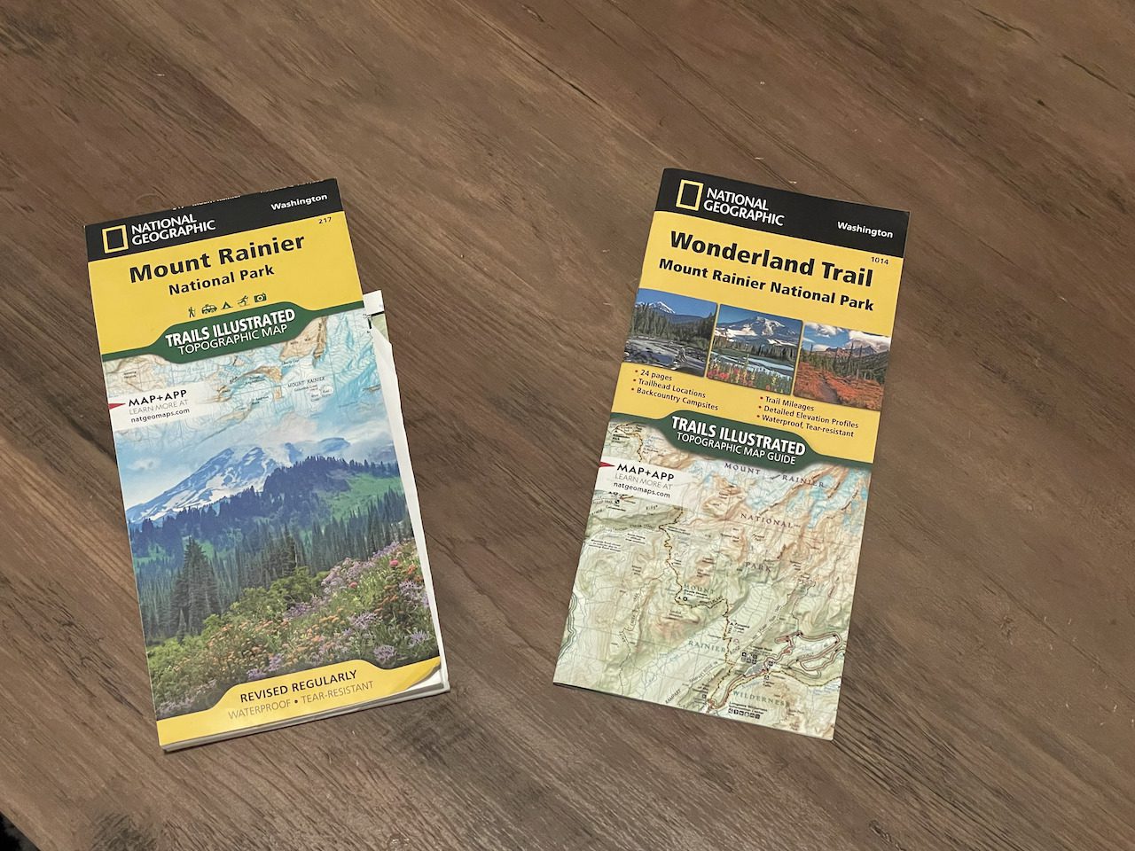
Get the most up-to-date maps! Because of the harsh climates in the park, there can be changes to the trail or detours that are necessary depending on environmental factors. I would recommend purchasing the latest National Geographic topographic map of Mount Rainier National Park.
On our backpacking gear blog, you can check out some of our highly recommended gear for your Wonderland Trail adventure.
Click Here to Get Your Map On Amazon!
I Hope This Helped!
I hope we answered all of your questions about hiking the Wonderland Trail! Please feel free to reach out if you have any other questions about the trek.
If you are not fortunate enough to live in the pacific northwest odds are you are flying to Mt Rainier! Below are the three closest airports to Mt Rainier National Park
Seattle-Tacoma International Airport
Portland International Airport
Vancouver International Airport
Seattle-Tacoma International Airport (SEA):
At about 51 miles away, Seattle-Tacoma International Airport is the closest airport to Mt Rainier National Park. A hub for Alaska and Delta Airlines, SeaTac also hosts 34 other airline companies, which gives many flight options and variety when planning your trip.
Distance From Mt Rainier: 51 miles (from Carbon River Ranger Station)
Estimated Driving Time: about 1hour and 10 minutes to Carbon River Ranger Station
Address: 17801 International Blvd, Seattle, WA 98158
This would be a last resort option if you are unable to get a flight from the other two airports, reason being this is the farthest from the park no matter how you slice it.
Distance From Mt Rainier: 195 miles (to Carbon River Ranger Station)
Estimated Driving Time: 4hours and 40minutes to Carbon River Ranger Station
Address: 3211 Grant McConachie Way, Richmond, BC V7B 0A4, Canada