Wonderfarr

Categories
Itineraries Grand Tetons

3-Day, 2-Night Amazing Marion Lake Backpacking Itinerary

3-Day, 2-Night Marion Lake Backpacking Itinerary:
Marion Lake Backpacking Itinerary

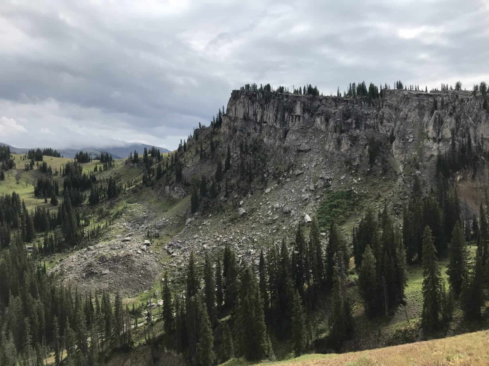
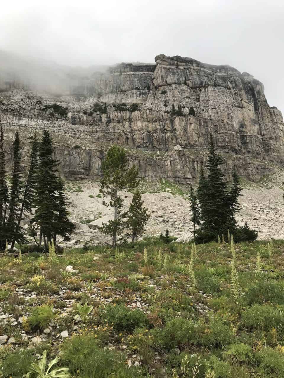
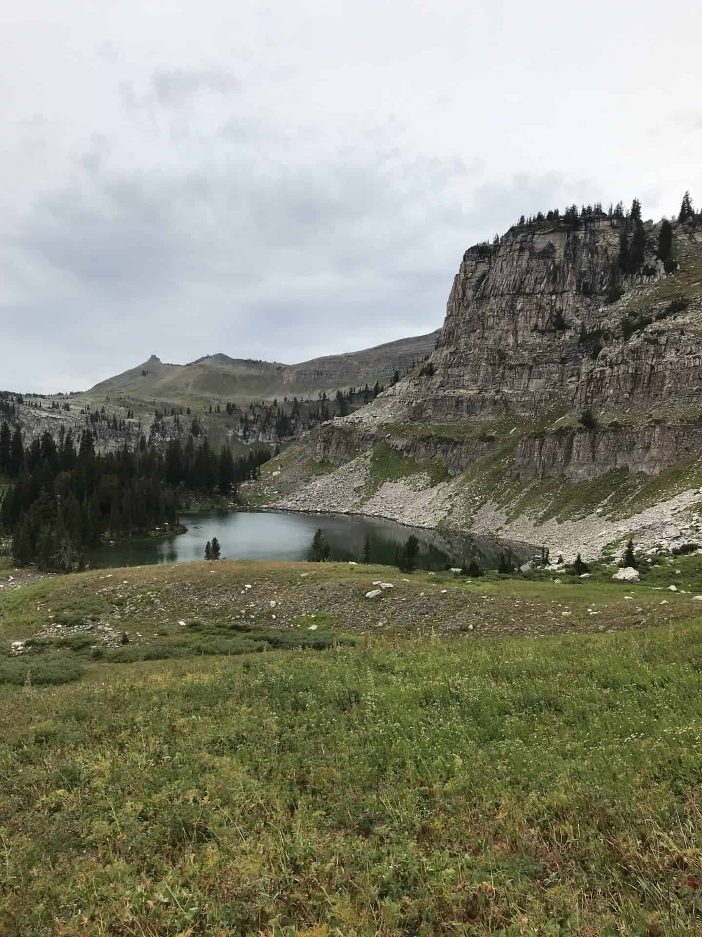
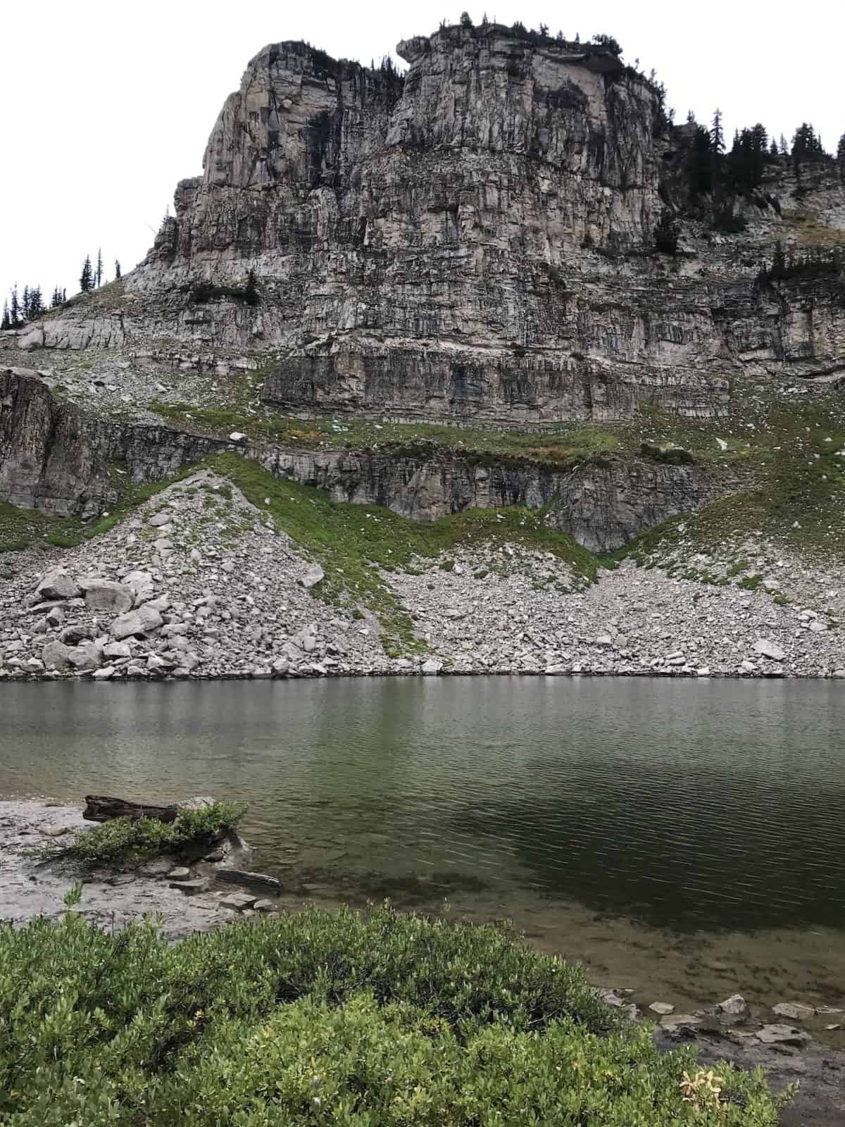
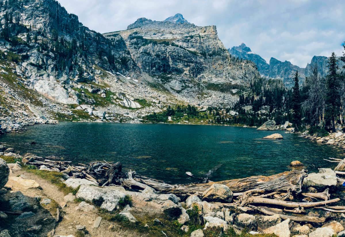
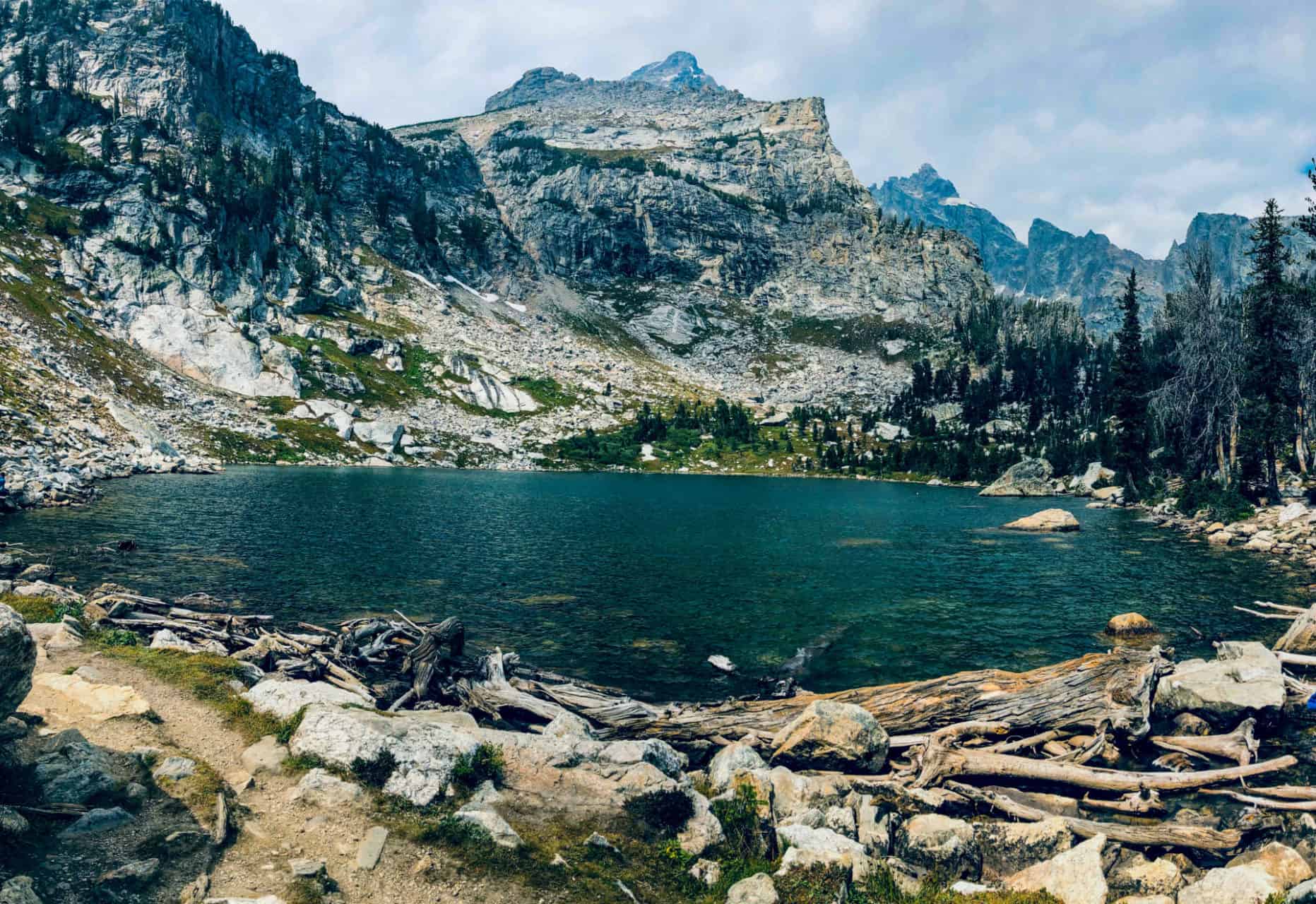
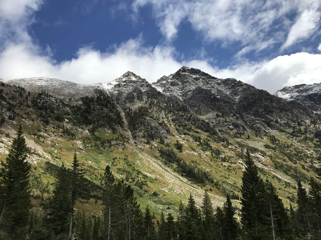
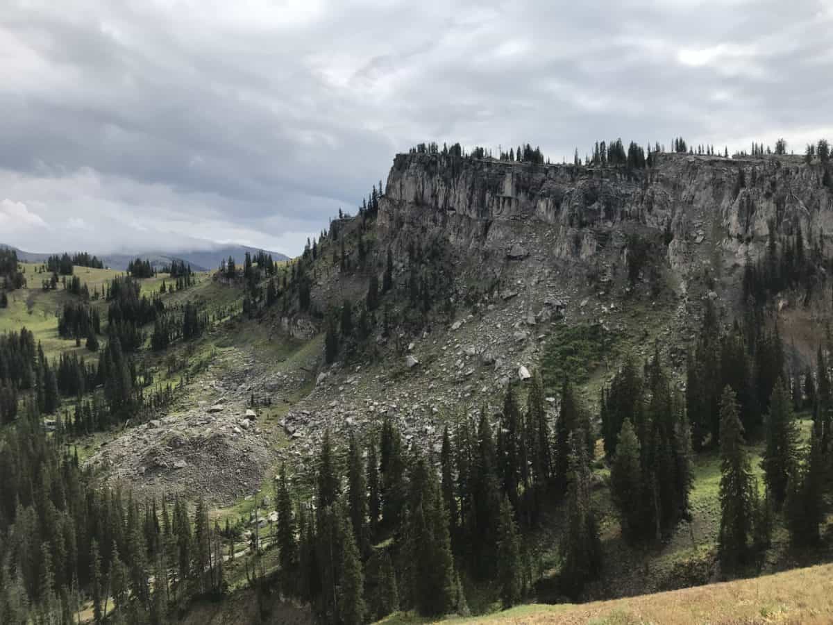
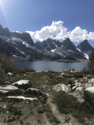
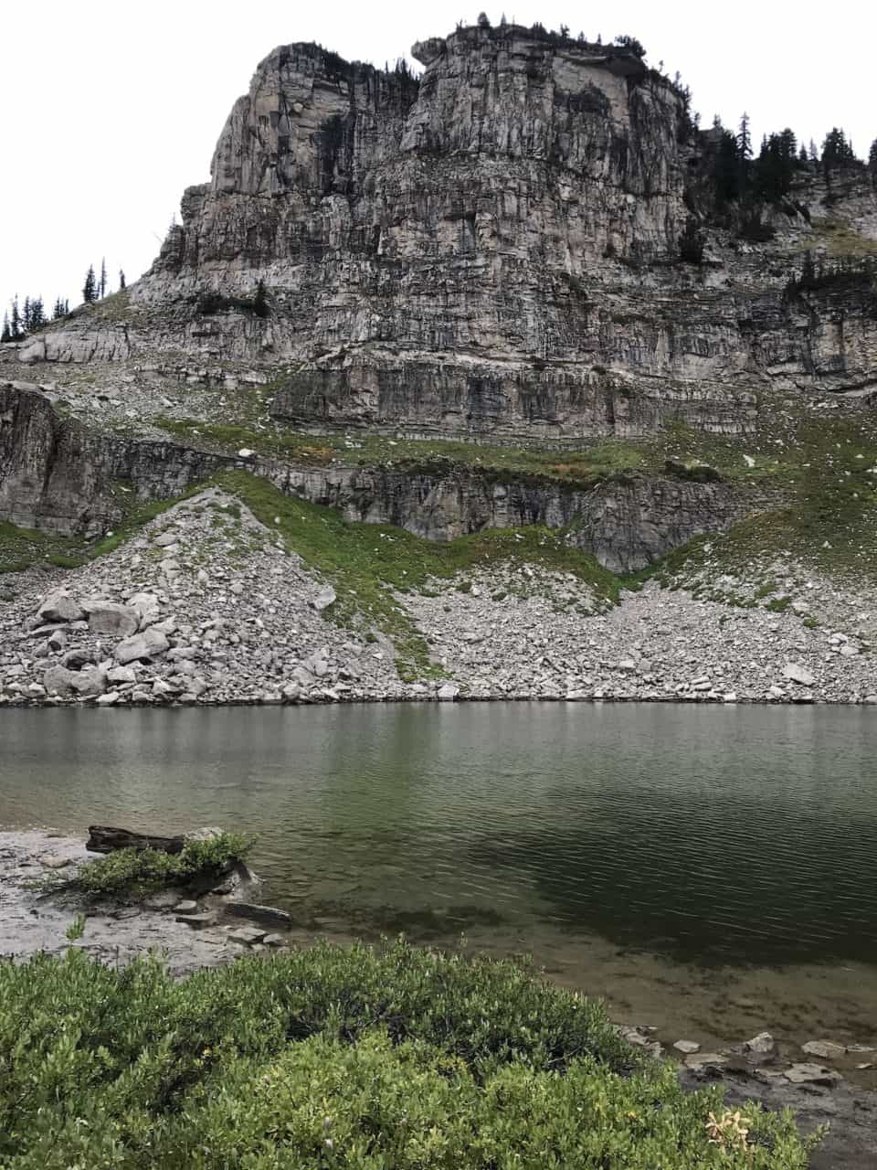
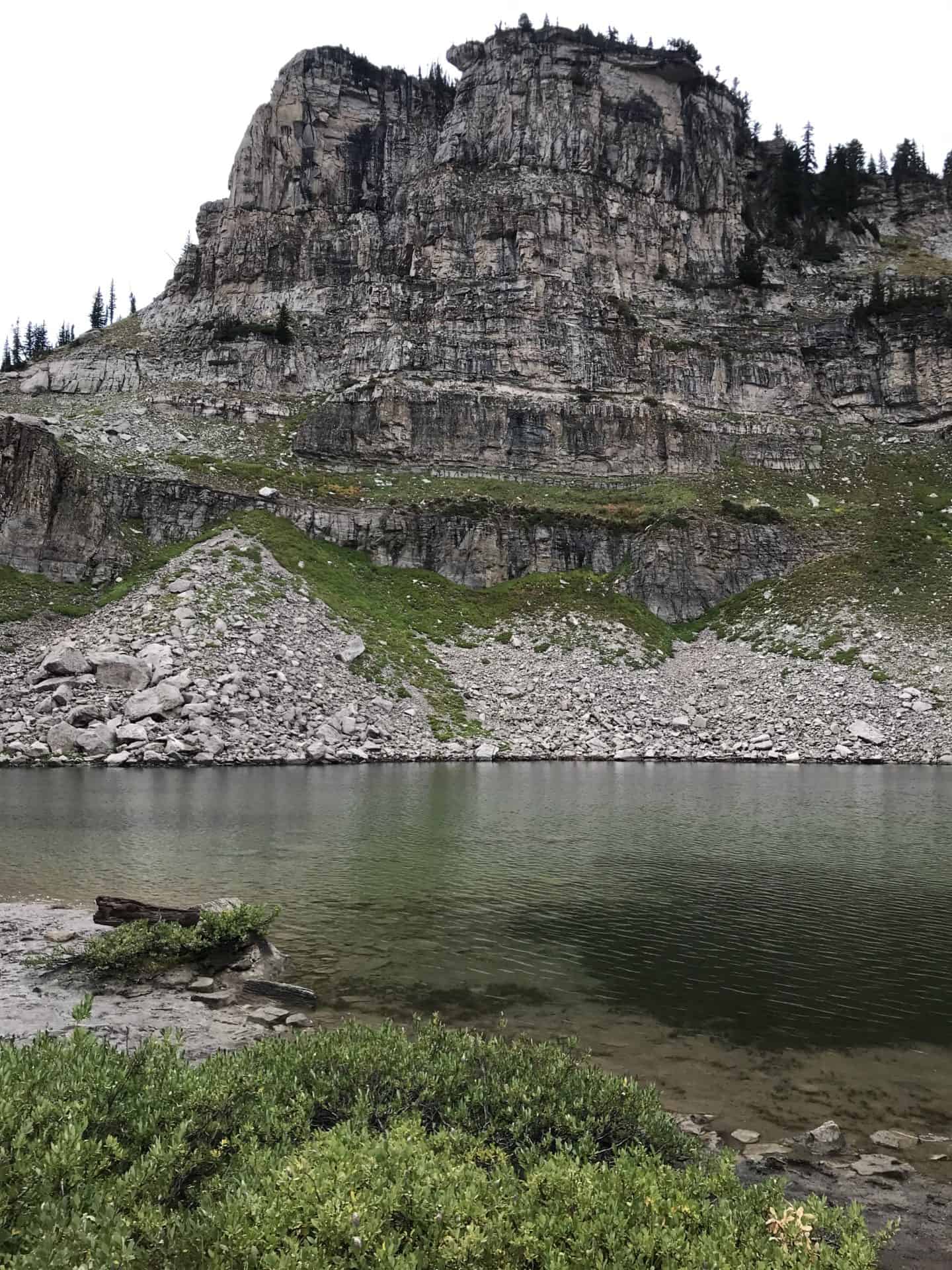
Want to go on a backpacking trip to a beautiful lake with a towering granite cliff overlooking it?  You came to the right place.  Even though this route is on the shorter side, it does not lack stunning vistas.  On this trip, you will get views of Granite Canyon, sections of the Teton Crest Trail, and of course Marion Lake!  

Trek Specs

Type Of Route:  Loop

Total Mileage:  ~20.5 miles

Total Elevation Gain:  ~5,600ft

Permits Required: Yes

Trek Overview:

This 3-day, 2-night loop Marion Lake backpacking trip starts and ends at Death Canyon Trailhead.  This route takes place in the southwest portion of the park.  Some of the highlights of this route include Phelps Lake, Mt Hunt Divide, Marion lake,  and a beautiful hike through Granite Canyon. 

Day 1: Death Canyon Trailhead to Death Canyon Backcountry Camp.

  • Distance: ~8 miles
  • Elevation Gain: ~2,411ft
  • Via Valley Trail>Death Canyon Trail

Day 2: Death Canyon Backcountry Camp to Open Canyon Backcountry Camp.

  • Distance: ~12 miles
  • Elevation Gain: 2,579ft
  • Via Death Canyon Trail>Teton Crest South Trail>Granite Canyon Trail>Mount Hunt Trail>Open Canyon Trail
  • Here you will be able to have a nice lunch break at Marion Lake!

Day 3:  Open Canyon Backcountry Camp to Death Canyon Trailhead.

  • Distance: ~4.5
  • Elevation Gain: ~627
  • Via Open Canyon Trail>Open Canyon Cutoff Trail>Valley Trail

Views From This Trip:
Check Out Some Other Grand Teton Backpacking Itineraries!

Backpack The Teton Crest

Backpack Cascade And Paintbrush Canyons

Backpack Surprise & Amphitheater Lakes

Categories
Itineraries Grand Tetons

2-Day, 1-Night Backpacking Itinerary to Surprise and Amphitheater Lakes:

2-Day, 1-Night Backpacking Itinerary to Surprise and Amphitheater Lakes:

Backpacking To Surprise and Amphitheater Lakes

Looking for a shorter trip with huge view payoffs well look no further!  This out and back two-days one-night backpacking trip is great if you are strapped for time but want to see some beautiful alpine lakes!

Trek Specs:

Type Of Route:   Out and Back

Total Mileage:  ~14 miles

Total Elevation Gain:  ~2,600ft

Are Permits Required:  Yes


Day 1: Taggart Lake Trailhead to Surprise Lake.

  • Distance:  ~7 miles
  • Elevation Gain: ~3,399ft
  • Via Taggart Lake Trail>Bradley Lake Trail>Valley Trail>Garnet Canyon Trail>Surprise/Amphitheater Lakes Trail

Day 2: Surprise/Amphitheater Lakes to Taggart Lake Trailhead.

  • Distance: ~7 miles
  • Elevation Gain: ~240ft
  • Via Surprise/Amphitheater Lakes Trail>Garnet Canyon Trail>Valley Trail>Bradley Lake Trail>Taggart Lake Trail

Check Out Some Other Grand Teton Backpacking Itineraries

Backpack The Teton Crest Trail

Backpack Cascade And Paintbrush Canyons

Backpack To Marion Lake

Categories
Grand Tetons Itineraries

Backpacking Through Cascade and Paintbrush Canyons

Backpacking Itineraries Through Cascade and Paintbrush Canyon:

Backpacking to Cascade Canyon

Backpacking through Cascade and Paintbrush Canyon offers incredible views of the Grand Tetons, as well as a number of spectacular viewpoints along the way.  You will get to hike to the beautiful alpine lake, Lake Solitude as well as climbing to the top of the Paintbrush Divide on each of these itineraries!

3-Day 2-Night Loop Trail Starting at Jenny Lake Trailhead:

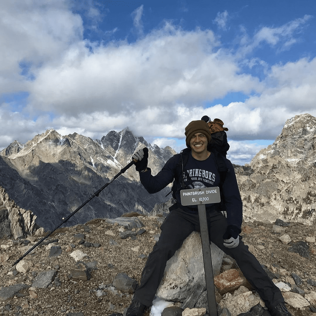
Our first Itinerary will consist of a 3-day 2-night loop route starting and ending at Jenny Lake Trailhead.   This hike will give you close-up views of the Tetons from Cascade Canyon, beautiful glacial lake scenery, as well as an incredible aerial view of Paintbrush Canyon after a strenuous climb up the  Paintbrush Divide.  

Trek Specs:

Type Of Route:  Loop

Total Mileage:  ~24.1 miles

Total Elevation Gain:  ~5,000ft

Are Permits Required:  Yes

Day 1: Jenny lake Trailhead to Southfork Cascade.

  • Distance: ~7.9 miles
  • Elevation Gain: 1,782ft

Day 2: Southfork Cascade to Upper Paintbrush.

  • Distance: ~7.2 miles
  • Elevation Gain: 2,828ft

Day 3: Upper Paintbrush to Jenny Lake Trailhead.

  • Distance: ~9 miles
  • Elevation Gain ~417ft
  •  

5-Day 4-Night Backpacking Itinerary Through Cascade and Paintbrush Canyons

Top of Paintbrush Divide

This 5-day, 4-night backpacking trip starts at Granite Canyon Trailhead and ends at Jenny Lake Visitor Center and is a more extended version of our first itinerary. This trip will include breathtaking views of giant granite slabs through the aptly named Granite Canyon, pristine glacial lakes of Marion Lake, and  Lake Solitude, with several challenging climbs to the top of Mt Meek Pass, Hurricane Pass, and the Paintbrush Divide. 

Trek Specs:

Type Of Route:  In and Out

Total Mileage:  ~40.4 miles

Total Elevation Gain:  ~8,800ft

Permits Required:  Yes

  • Day 1:  Granite Canyon Trailhead to Upper Granite Campground
    • Distance: ~7.8miles
    • Elevation Gain: ~2,333
  • Day 2:  Upper Granite to Death Canyon Shelf
    • Distance: ~6.6miles
    • Elevation Gain: ~1,719ft
  • Day 3:  Death Canyon Shelf to South fork Cascade
    • Distance: ~9.8miles
    • Elevation Gain 1,555ft
  • Day 4:  South Fork Cascade to Upper Paintbrush
    • Distane ~7.2miles
    • Elevation Gain ~2,828ft
  • Day 5:  Upper Paintbrush to Jenny Lake Trailhead
    • Distance: ~9miles
    • Elevation Gain ~417ft

Check Out Our Other Grand Teton Backpacking Trips?

Backpacking To Marion Lake

Backpacking The Teton Crest Trail

Backpacking To Surprise & Amphitheater Lakes

Categories
Itineraries Great Smokey Mountain

4-Day 3-Night Breathtaking Clingmans Dome Backpacking Itinerary

4-Day 3-Night Clingmans Dome Backpacking Itinerary:

Clingmans Dome Backpacking Itinerary

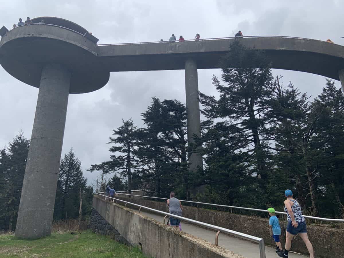
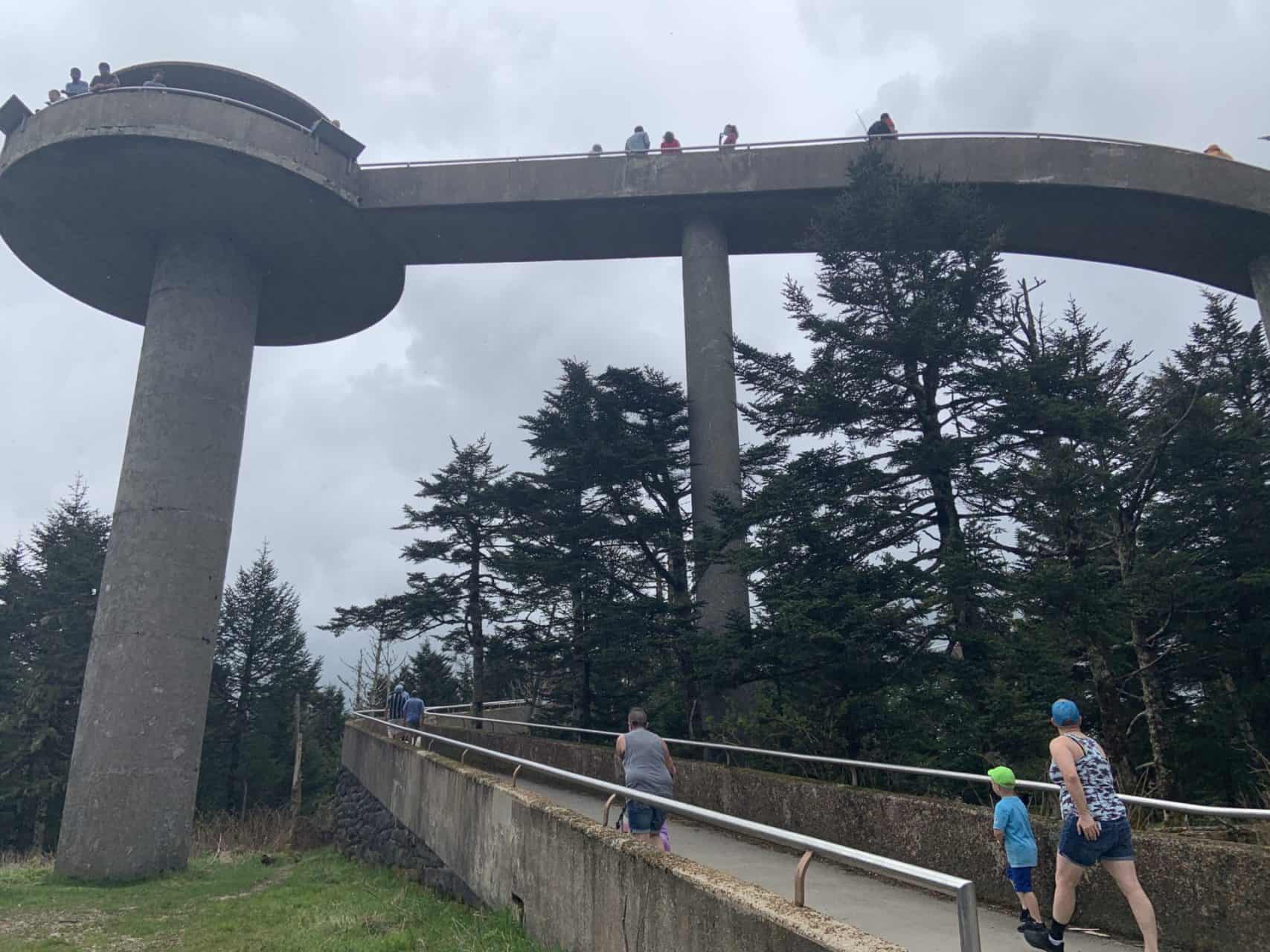
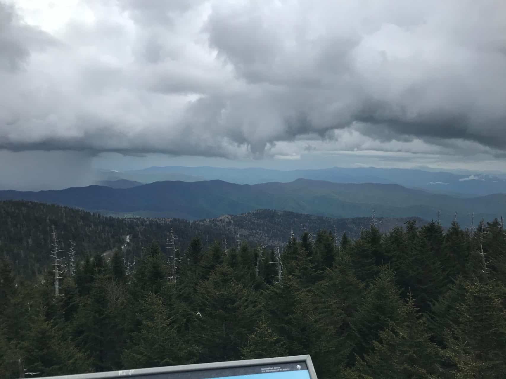
Being the highest point in the park, Clingmans Dome offers a great vantage point from the watchtower giving panoramic view of several mountains on the Appalachian Trail.  While there is a quick day hike on a paved road that can get you there, here is an itinerary that includes it as a stop on a backpacking adventure.  Be warned Clingmans Dome does run the risk of being overrun by tourists, but if you get up there either early or late to appreciate a sunset/sunrise you can be treated to some spectacular views.  

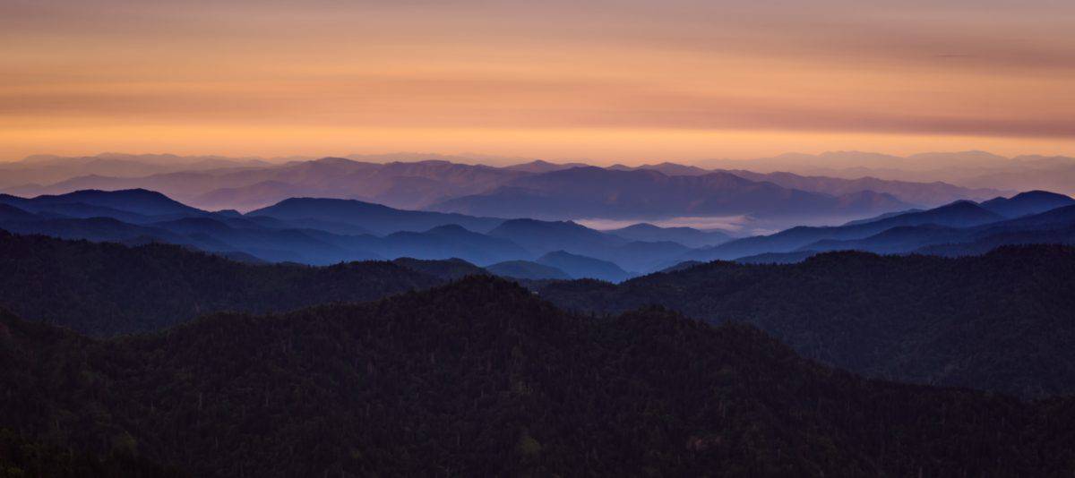
This low difficulty itinerary is made in a loop starting and ending at Husky Gap Trailhead off of Newfound Gap Road.  After your first day of hiking, you will experience minimal elevation gain.  On this hike, you will get views of Sugarland Mountain, Mount Collins, Mount Love, Clingmans Dome, and as always, fantastic treeline views from the Appalachian Trail.

Trek Specs:

Type Of Route:  Loop

Total Mileage:  ~30 miles

Total Elevation Gain: 6,687ft

Are Permits Required:  Yes

Day 1: Husky Gap Trail to Mount Collins Shelter.

  • Via Husky Gap Trail>Sugarland Mountain Trail
  • Distance: ~10.4
  • Elevation Gain: ~4,400ft
  • You will catch views of Husky Gap as well as Sugarland Mountain.

Day 2: Mount Collins Shelter to Double Spring Gap Shelter. 

  • Via Sugarland Mountain Trail>Appalachian Trail
  • Distance: ~6.3 miles
  • Elevation Gain: ~1,388ft
  • You will catch views from Mount Collins, Clingmans Dome, Mount Love, and Mount Buckley on this day. 

Day 3: Double Spring Gap Shelter to 21 Mile 53 Backcountry Campground.

  • Via Appalachian Trail>Goshen Prong Trail>Little River Trail>Husky Gap Trail
  • Distance:  ~9.1 miles
  • Elevation Gain: 246ft
  • Notable views include rainforest-like terrain seen throughout the hike, as well as views of Little River.

Day 4: 21 Mile 53 Backcountry Campground to Husky Gap Trailhead.

  • Via Husky Gap Trail
  • Distance: ~4 miles
  • Elevation Gain: ~653ft
***Reminder to always check the park’s website to get up-to-date information on trail closures and the latest backcountry rules and regulations.
Clingmans Dome tower
Clingmans Dome

Check Out These Other Great Smokey Mountains Itineraries:

Categories
Itineraries Great Smokey Mountain

5 Day 4 Night Incredible Charlies Bunion Backpacking Itinerary

5-Day 4-Night Charlies Bunion Backpacking Itinerary:

Charlies Bunion Backpacking Itinerary

Charlies Bunion is an incredible Mountain that gives spectacular views from its summit.  Known usually known for rocky protrusion (or bunion) just below the top, Charlies Bunion is one of the most famous viewpoints in the park.  

This trip is great for someone trying to take a more extended trip and catch some fantastic views from the Appalachian Trail and Charlies Bunion.  The route is a loop trail starting and ending in the Oconaluftee Visited Center, located on the park’s southeast corner.

Trek Specs:

Type of route:  Loop

Total Mileage: ~50 miles

Total Elevation Gain: ~12,089ft

Permits Required: Yes

Day 1: Oconuluftee Visitor Center to Backcountry Camp 57.

  • Via Mingus Creek Trail>Newton Bald Trail>Thomas Divide Trail>Sunkota Ridge Trail>Martins Gap Trail
  • Distance: ~12.6 miles
  • Elevation Gain:  ~3,461ft

Day 2:  Backcountry Campground 57 to Mount Collins Shelter.

  • Via Deep Creek Trail/Fork Ridge Trail
  • Distance:  ~9.8 miles
  • Elevation Gain:  ~3,648ft

Day 3: Mount Collins Shelter to Icewater Spring Shelter.

  • Via the Appalachian Trail
  • Distance: ~7.6 miles
  • Elevation Gain:  ~1,624ft

Day 4:  Icewater Spring Shelter to Backcountry Campsite 52.

  • Via Appalachian Trail>Dry Sluice Gap Trail>Grassy Branch Trail>Kephart Prong Trail>Kanati Ridge Trail>Thomas Divide Trail
  • Distance:  ~13.7 miles
  • Elevation Gain:  ~3,245ft

Day 5:  Backcountry Campsite 52 to Oconaluftee Visitor Center.

  • Via Mingus Creek Trail
  • Distance:  ~6.3 miles
  • Elevation Gain:  ~111ft
***Reminder to always check the park’s website to get up-to-date information on trail closures and the latest backcountry rules and regulations.

Take A Look At Other Great Smoky Mountain Backpacking Itineraries

Categories
Itineraries Grand Tetons

4-Day 3-Night Teton Crest Trail Backpacking Itinerary:

4-Day 3-Night Teton Crest Trail Backpacking Itinerary:

The Teton Crest Trail BAckpacking Itinerary

The Teton Crest Trail is a forty-mile range going through Grand Teton National Park.  With its deep valleys and jagged peaks, The Teton Crest Trail is one of the greats.

This is a 4-day 3-night point-to-point route starting at Ski Lake Trail and ending at Jenny Lake Trailhead.   The best way for approaching this trail from a logistical perspective would be to either have 2 cars if hiking with a group or arranging a shuttle to get you to your starting location.  This hike starts outside of the park and you will make your way in there as you go.  Some of the highlights include hiking the Teton Crest(obviously), Marion Lake, Lake Solitude, The Paintbrush Divide, and everything along the way! 

Trail Specs:

Type Of Route:  In And Out

Total Mileage:  ~40 miles

Total Elevation Gain:  ~9,000ft

Are Permits Required:  Yes

Day 1: Car to Death Canyon Shelf.

  • Distance: ~14 miles
  • Elevation Gain: ~4,173ft
  • Via Ski Lake Trail>Phillips Pass Trail>Teton Crest Trail>Teton Crest South Trail>Death Canyon Shelf Trail

Day 2: Death Canyon Shelf to Cascade South Fork Cascade.

  • Distance: ~10.7 miles
  • Elevation Gain: ~1,860ft
  • Via Teton Crest South Trail>Hurricane Pass Trail>South Fork Cascade Canyon Trail 

Day 3: South Fork Cascade to Paintbrush Upper.

  • Distance: ~9.3 miles
  • Elevation Gain: ~2,828ft
  • Via South Fork Cascade Canyon Trail>North Fork Cascade Canyon Trail>Paintbrush Canyon  Trail

Day 4: Upper Paintbrush to Jenny Lake Visitor Center.

  • Distance: ~4.9 miles
  • Elevation Gain: ~109ft
  • Via Paintbrush Canyon Trail>String Lake Trail>Jenny Lake Loop Trail

Check Out These Other Grand Teton Backpacking Itineraries!

Backpacking To Marion Lake

Backpack Through Cascade And Paintbrush Canyon

Backpack To Surprise & Amphitheater Lake

Categories
Itineraries Great Smokey Mountain

Amazing Mount Le Conte Backpacking Itinerary

3-Day 2-Night Mount Le Conte Backpacking Itinerary:

National Park Guides

Being the 3rd highest peak in the park, it is no surprise that Mount Le Conte offers some incredible views of the Great Smoky Mountains.  At the top of this Mountain sits the highest guest lodge in the eastern United States, LeConte Lodge.  Here a series of cabins stand where hikers can reserve a stay.  Reservations are needed in advance here if you can’t get one for your backpacking trip, though, do not worry because there is a shelter located not far from the lodge. 

This trip is a loop trail starting and ending in Sugarlands Visitor Center.  On this trip, you will get views from Mount LeConte, the Appalachian Trail, and Sugarland Mountain! 

Trek Specs:

Type of Route: Loop

Total Mileage: ~35.7 miles

Total Elevation Gain:  ~8,022ft

Are Permits Required: Yes

Day 1: Sugarland Visitor Center to Mount Le Conte. 

  • Via Old Sugarland Train>Rainbow Falls Trail>Boulevard Trail
  • Distance: ~11 miles
  • Elevation Gain: ~5,112ft

Day 2: Mount Le Conte to Mount Collins Shelter.

  • Via Boulevard Trail>Appalachian Trail>Sugarland Mountain Trail
  • Distance: ~12.5 miles
  • Elevation Gain:  ~2,461ft

Day 3: Mount Collins Shelter to Sugarland Visitor Center.

  • Via Sugarland Mountain Trail>Husky Gap Trail>Newfound Gap Road 
  • Distance: ~12.2 miles
  • Elevation Gain: ~449ft
***Reminder to always check the park’s website to get up-to-date information on trail closures and the latest backcountry rules and regulations.

Check Out Some Other Great Smoky Mountain Backpacking Itineraries!

Categories
Itineraries

Ansel Adams Wilderness

Lorem ipsum dolor sit amet, consectetur adipiscing elit, sed do eiusmod tempor incididunt ut labore et dolore magna aliqua. Ut enim ad minim veniam, quis nostrud exercitation ullamco laboris nisi ut aliquip ex ea commodo consequat. Duis aute irure dolor in reprehenderit in voluptate velit esse cillum dolore eu fugiat nulla pariatur. Excepteur sint occaecat cupidatat non proident, sunt in culpa qui officia deserunt mollit anim id est laborum.

Lorem ipsum dolor sit amet, consectetur adipiscing elit, sed do eiusmod tempor incididunt ut labore et dolore magna aliqua. Ut enim ad minim veniam, quis nostrud exercitation ullamco laboris nisi ut aliquip ex ea commodo consequat. Duis aute irure dolor in reprehenderit in voluptate velit esse cillum dolore eu fugiat nulla pariatur. Excepteur sint occaecat cupidatat non proident, sunt in culpa qui officia deserunt mollit anim id est laborum.

Lorem ipsum dolor sit amet, consectetur adipiscing elit, sed do eiusmod tempor incididunt ut labore et dolore magna aliqua. Ut enim ad minim veniam, quis nostrud exercitation ullamco laboris nisi ut aliquip ex ea commodo consequat. Duis aute irure dolor in reprehenderit in voluptate velit esse cillum dolore eu fugiat nulla pariatur. Excepteur sint occaecat cupidatat non proident, sunt in culpa qui officia deserunt mollit anim id est laborum.

Categories
Itineraries

5 Best Day Hikes In The Great Smoky Mountains

5 Must Do Day Hikes In The Great Smoky Mountains National Park:

Best Day Hikes In Great Smokey Mountain National Park

If you are visiting the Great Smoky Mountains National Park for the first time and want to get the most out of your visit here are some great day hikes that should be on any first time visitors list!  These hikes are in no particular order just are some cool hikes that offer nice views.  Let’s dive in!

Mount Le Conte

Backpacking mount le conte
Sunset at Mount Le Conte

Distance: ~11miles

Total Elevation Gain: ~ 2,763ft

Estimated Time: ~ 5hrs 30min

The Trail:  Starting at Alum Cave Trail hike to Mt Leconte is a classic hike of the Great Smokey Mountains where you can get lovely views at 6,594ft at the top of Mt LeConte while also catching excellent vistas from the Alum Cave bluffs. 

Rainbow Falls

Rainbow falls day hike great smoky mountains

Distance: ~5 miles

Total Elevation Gain: 1,614ft

Estimated time: ~ 3hrs 

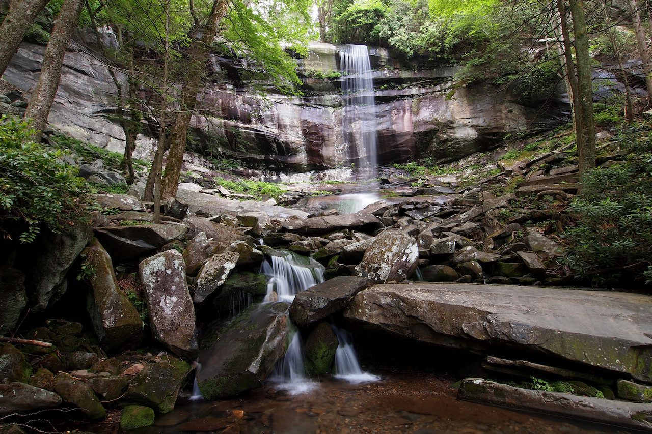
The Trail: Starting at the Rainbow Falls Trailhead off Cherokee Creek Road although the mileage is low you will encounter some elevation gain so be prepared.  At the end of this hike, you will be rewarded with lovely waterfall views. 

Charlies Bunion

Charlies Bunion Backpacking Itinerary
Charlies Bunion

Distance: ~8miles 

Total Elevation Gain: 1,886ft 

Estimated Time: ~4hrs 30min

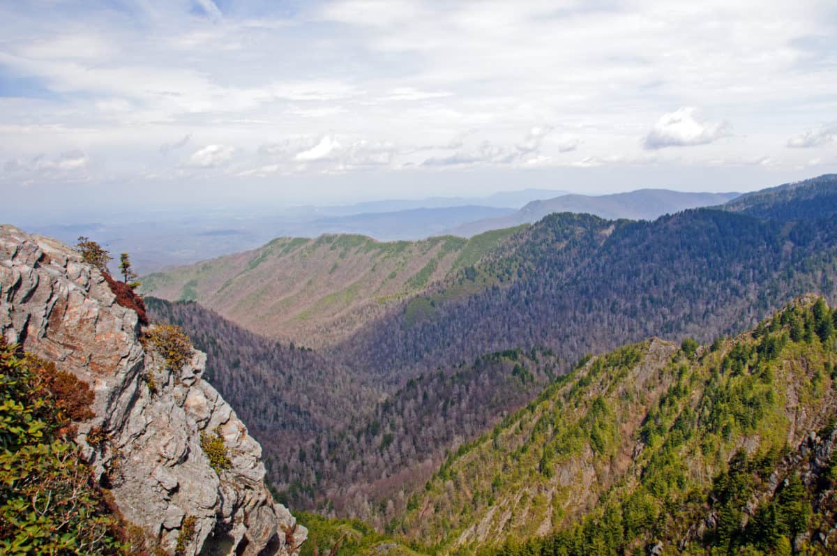
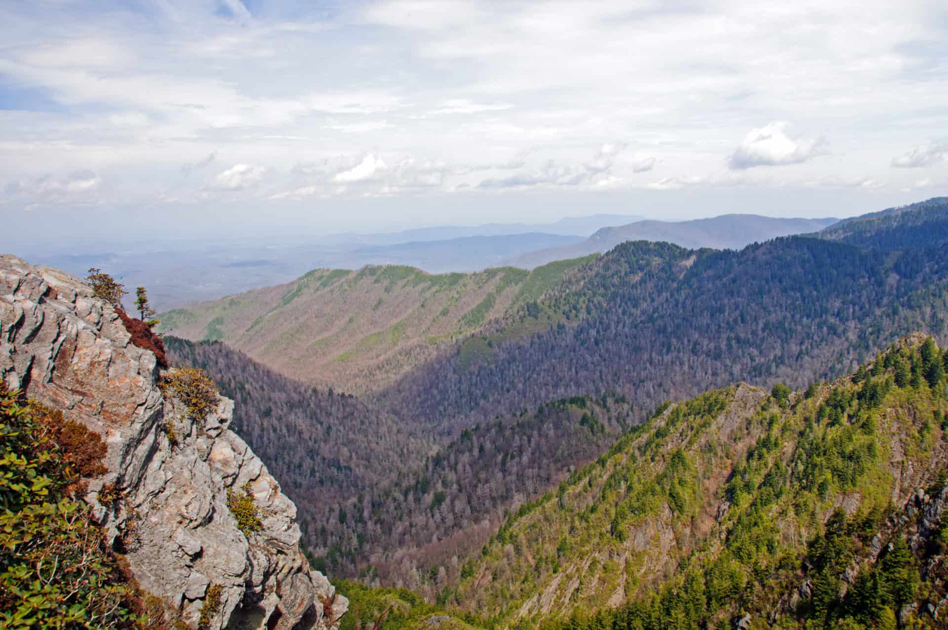
The Hike: This hike along the Appalachian Trail will yield you some incredible panoramic views from above the tree line on the Appalachian Trail.  When you arrive at Charlie’s Bunion you will reach a bluff which is an amazing kodak moment!

Clingmans Dome

Distance: 1.2 miles

Elevation Gain: 331ft

Estimated Time: ~20min

Park at Clingmans Dome Visitor center and enter via Clingmans Dome Bypass trail you will enter a very easy paved trail that can be done by the whole family!  At the end of this trail, you will arrive at an observation tower where you can get views from elevation.  Beware though you may find because it is such an easy trail it may be heavily trafficked during peak seasons.  If large crowds are not for you, you may want to avoid this one. 

Gregory Bald

Distance: ~11.5miles

Elevation Gain: ~3,020ft 

Estimated Time:  ~6hrs

The Trail: Starting at Gregory Ridge Trailhead off of Forge Creek Road this hike to Gregory Bald will be especially rewarding in June when the Azaleas of blooming.  You will be rewarded with a beautiful palette of colors. throughout your hike and as you near Gregory Bald, you will get amazing vistas of the eastern Smokies. 

Get Your Backpacking Checklist!!!

Get your free backpacking checklist!

Join our mailing list to get the latest news, updates, posts, trails, and itineraries!