5-Day 4-Night Charlies Bunion Backpacking Itinerary:

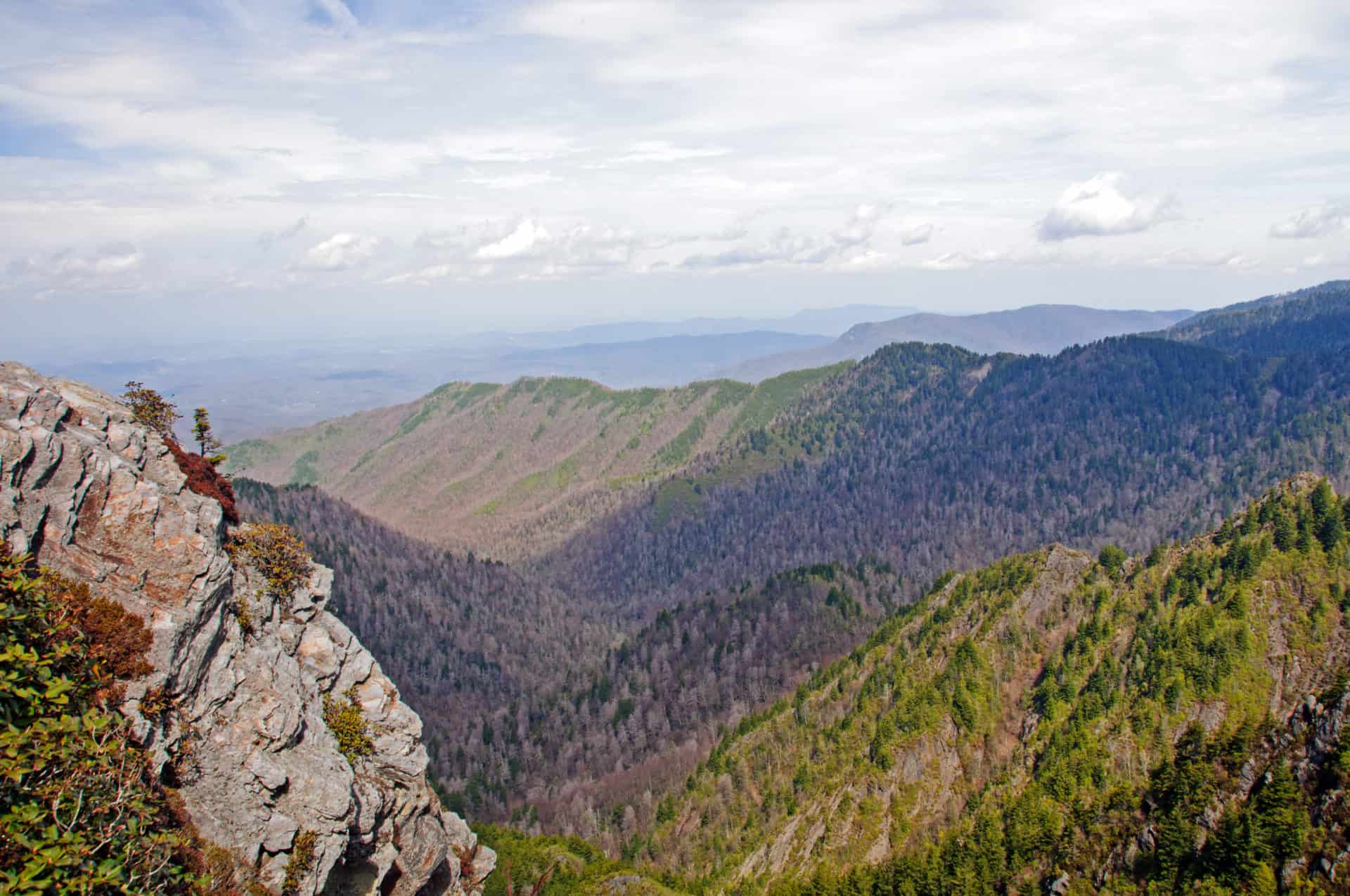
Charlies Bunion is an incredible Mountain that gives spectacular views from its summit. Known usually known for rocky protrusion (or bunion) just below the top, Charlies Bunion is one of the most famous viewpoints in the park.
This trip is great for someone trying to take a more extended trip and catch some fantastic views from the Appalachian Trail and Charlies Bunion. The route is a loop trail starting and ending in the Oconaluftee Visited Center, located on the park’s southeast corner.
Trek Specs:
Type of route: Loop
Total Mileage: ~50 miles
Total Elevation Gain: ~12,089ft
Permits Required: Yes
Day 1: Oconuluftee Visitor Center to Backcountry Camp 57.
- Via Mingus Creek Trail>Newton Bald Trail>Thomas Divide Trail>Sunkota Ridge Trail>Martins Gap Trail
- Distance: ~12.6 miles
- Elevation Gain: ~3,461ft
Day 2: Backcountry Campground 57 to Mount Collins Shelter.
- Via Deep Creek Trail/Fork Ridge Trail
- Distance: ~9.8 miles
- Elevation Gain: ~3,648ft
Day 3: Mount Collins Shelter to Icewater Spring Shelter.
- Via the Appalachian Trail
- Distance: ~7.6 miles
- Elevation Gain: ~1,624ft
Day 4: Icewater Spring Shelter to Backcountry Campsite 52.
- Via Appalachian Trail>Dry Sluice Gap Trail>Grassy Branch Trail>Kephart Prong Trail>Kanati Ridge Trail>Thomas Divide Trail
- Distance: ~13.7 miles
- Elevation Gain: ~3,245ft
Day 5: Backcountry Campsite 52 to Oconaluftee Visitor Center.
- Via Mingus Creek Trail
- Distance: ~6.3 miles
- Elevation Gain: ~111ft


